by Barani Chettiar | Apr 19, 2022 | Uncategorized
A marine vessel’s communication system is one of the strongest ways to protect and ensure the security and safety of your crew while out at sea. Effective radio communication keeps ships apprised of their relation to other vessels, their relation to the shore and potential sandbanks or other dangerous physical features, and allows the staff onboard and those on the shore to share important information concerning weather patterns and safety protocols.
When choosing radio communication equipment for your vessel, you are typically spoiled for choice. However this article will focusing on three main types of communication devices: Very High Frequency radios (VHF), Single Side Band radios (SSB), and Global Maritime Distress and Safety Systems (GMDSS).
Very High Frequency (VHF) Radios
Fixed mount VHF radios like the ICOM IC-M330 are some of the most widely used maritime communication equipment, and handheld marine VHFs can be useful during emergency situations as well. VHFs can be used for:
- Transmitting distress and safety signals
- Calls to shore and other ship-to-shore communications
- NOAA weather channels
- Navigation
While these uses make the VHF invaluable onboard, they do still have their limitations. VHF is limited by line of sight, meaning a clear and unobstructed path is necessary between the transmitter and receiver in order for the radio signal to work. Separate marine VHF antennas help overcome this by raising the height of your antenna.
VHF radios use 3 key methods for communication: simplex, duplex and Digital Selective Calling (DSC). Simplex and duplex both transmit and receive standard voice communications, whereas DSC transmits and receives digital communications.
- Simplex communication sends and receives communications on the same frequency, and is suitable for ship-to-ship communication. It has a range of about 20 nautical miles (depending on conditions), and is also the method in use for channel 16, the international safety channel used for distress calls and coordinating rescues.
- Duplex communication transmits and receives on different frequencies, usually with a shore-based repeater station in between. While the repeater ensures a greater range of communication of around 40 nautical miles, VHF line of sight limitations still apply.
- DSC uses simplex communication and is bound by the same range restrictions. However it can also send a greater variety of digital messages.
Single Side Band (SSB) Radios
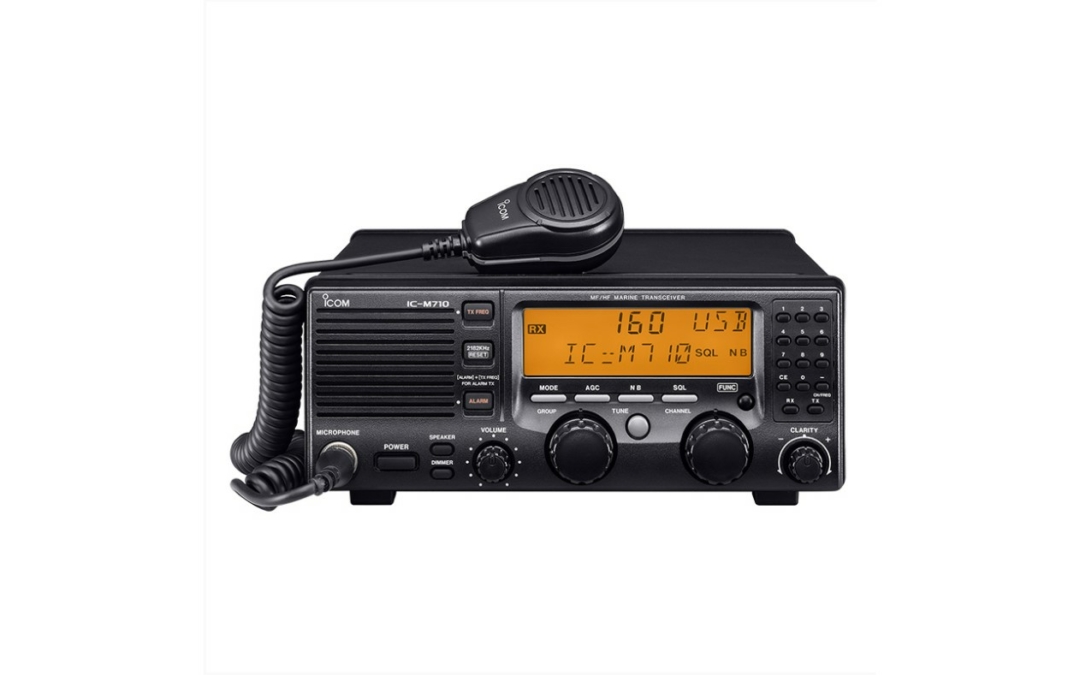
SSB radios like the ICOM IC-M710 are essential for real-time communication not limited by range.They work like two-way radios for marine vessels and are not limited by line of sight as they bounce, or skip, signals off of the ionosphere. SSBs are complementary communication equipment for VHFs, and should not replace a VHF in your vessel’s communication system.
Global Maritime Distress and Safety System (GMDSS)
A fixed mount GMDSS like the Samyung ENC SRG-3150D/DN supports a framework of devices, protocols and procedures on distress and radio communication safety. GMDSS is mandated for ships worldwide and is the industry standard for how to navigate distress calls and emergencies, whether you’re the vessel in distress or responding to it.
The GMDSS includes specific equipment modules such as:
- NavTex: An internationally adopted system used primarily to distribute MSI-maritime safety information. These include navigational warnings, weather warnings, forecasts, and search and rescue notices (SAR).
- Emergency Position Indicating Radio Beacons: EPIRBs help determine the positions of survivors during SAR operations.
- Search and rescue transponder: SARTs help to locate survival crafts or vessels in distress during SAR operations.
- DSC: DSC has been introduced into the GMDSS system to facilitate ship-to-ship, shore-to-ship, and ship-to-shore communication via high or medium frequencies, VHF and digital mobile radios.
Operating the GMDSS requires a General Operators Certificate (GOC), which involves completing a short course as well as clear written and oral exams. While this may take up some time and resources, it is absolutely essential to protecting your crew while you are out at sea.
Finding a Reliable Radio Communications Supplier
Tecomart has been trusted to supply quality marine navigation and communication equipment since 1994. Our ethos is to provide high-quality communications and navigational solutions at competitive and affordable prices. If you are in the market for a reliable radio communications supplier you can trust, get in touch with us today.
by Barani Chettiar | Apr 19, 2022 | Uncategorized
As a seafarer, reliable marine navigation equipment is a vital tool on any vessel to make navigating both convenient and safer on small and large boats alike. Whether you are a commercial or private vessel, high-quality and reliable marine navigation equipment will make it easier to navigate at sea while fulfilling your nautical duties.
However, there are some differences in the type of equipment needed for smaller private vessels compared to larger commercial ones. So how do you know what equipment is right for your boat?
Multifunction Displays and Radars
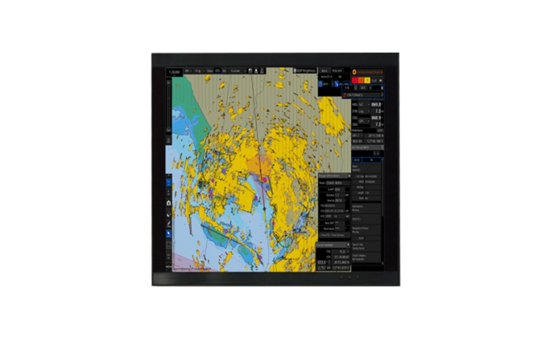
Multifunction displays are essential marine navigation equipment for both large commercial and smaller private boats as they help monitor various key factors including wave height, sonar detection, and surface temperature.
Other practical features may include engine control, chart plotters, fish finding technology, and integrated sonar and radar. Depending on your usage, you can also look for additional features such as sunlight readability and multiple inputs to find an easy-to-use option.
Tecomart stocks a variety of versatile and durable multifunction displays that are ideal for all marine vessels across all marine environments. You can also boost the efficacy of your multifunction display with our separate boat radars for sale.
GPS Chart Plotters
Almost any commercial or private nautical vessel of any size should invest in a GPS chart plotter before they head out to sea.
Say goodbye to paper charts and manually plotting courses – modern chart plotters have revolutionised marine navigation equipment by digitally plotting nautical charts on a screen. The Samyung ENC N430 Colour Chartplotter even has pre-loaded maps for convenience and ease of access.
GPS chart plotters allows you access to necessary chart data while being able to zoom in and out and scale the display to suit your needs. Some models even have inbuilt communication modules such as weather warnings, forecasts, and NavTex.
Fishfinders, Sonar Modules, and Transducers
If your craft is a fishing vessel it might be worth it to invest in a fishfinder or echo sounder like the RC JFE-3J80. These marine navigation equipments are ideal for larger commercial fisher boats, but optional for private vessels unless you are a devout fisherman or conduct fishing tours. Echo or depth sounders typically only represent depth, whereas fishfinders have a more comprehensive real-time display of what is below your boat. Added features to look out for include all-weather visibility, automated functions for ease of use, and filtering capabilities to help you narrow down your data for a more efficient catch.
Transducers send and receive signals to your fishfinder so you can effectively detect fish in the water. Depending on your vessel’s hulls, there are transducers of different materials to ensure maximum operational efficiency.
Sonar modules then receive the pulses from the transducers to interpret what is underneath the water. Whether you fish in shallow or deep water will affect the type of sonar module suitable for your vessel; for example deep water vessels need a sonar module that can interpret and graphically represent fish all around the area of your vessel and line.
Finding a reliable Marine Navigation Equipment Supplier
Marine navigation equipment is a vital component of keeping your vessel and crew safe at all times. Whether you are a commercial or private seafarer, buying high-quality marine radar and other equipment from trusted suppliers will ensure that your fishing duties are effectively and efficiently completed.
Tecomart is a trusted marine navigation equipment supplier for all your nautical needs and has been relied upon by fishermen and nautical crafts in the region since 1994. We believe in our promise to provide reliable nautical navigation equipment that is also affordable. Get in contact for more information about our high-quality marine radars for sale for all vessels, big or small.
by Barani Chettiar | Mar 30, 2022 | Uncategorized
Ever since the end of the 13th century, we’ve used maps to navigate the vast oceans and seas of the world. From circumnavigation to Atlantic crossings, maps have helped sailors chart and travel the world around them. Maps have been – and still are – an invaluable means of collecting, dispersing and utilising information on a maritime journey.
Even though nautical navigation equipment technology has changed immeasurably since then, maps are still our primary means of maritime navigation. Today, we primarily use raster and vector navigational charts to navigate through our nautical journeys. This article will guide you through the differences between each and their individual benefits and pitfalls.
Raster Charts
Raster charts are two-dimensional charts and maps that represent navigational information as a matrix of pixels. If you zoom in far enough on a raster chart, you’ll see the information appear as pixels or small squares, each containing only one colour. Raster images are also known as bitmap images.
Benefits:
- Similar accuracy to paper maritime charts – Raster charts are achieved by scanning and converting physical maps into a digital format, creating a near-perfect representation of the physical map.
- Reliable, true colour copy of physical charts – Raster charts are better for photorealistic representations of information due to high concentration of DPI (dots per image), letting you view physical maps in a scalable, digital format. The original map’s colours, typography, and navigational notes will also appear on the raster chart.
Drawbacks:
- Grainy when over-zoomed – While you can zoom in on a raster chart more easily than trying to magnify a physical map, there is a limit to how much you can zoom before the raster chart begins to look pixelated and grainy.
- No way to hide content – Raster charts exist in a two-dimensional format on a single layer. Therefore, you cannot hide or reveal layers to provide or take away additional information.
- Can’t add information – Once a raster chart has been created, it typically stays as is. There isn’t a way to easily add or remove information from it as it is merely a two-dimensional image.
Vector Charts
Vector charts rely on another method of graphical representation known as the vector file format which is based upon the mathematical principles of coordinate or analytic geometry. This expresses the image as simple geometric primitives rather than pixels.
Benefits:
- Perfectly scalable display – You can zoom into a vector chart as far as you need with no loss of image quality.
- Detailed information – Vector charts let you add various layers of information to your charts, such as separate layers denoting major shipping lanes, positions of buoys, tides at different times of day, and any other pertinent navigational data.
- Ability to filter data – The presence of multiple layers also lets you filter content. You can choose to see any amount of layers at once and hide and reveal layers at will to either simplify or add information to your digital chart.
Drawbacks:
- Potentially different from physical charts – While raster representations are typically scanned copies of physical maps, vector charts are created with specialised vector graphics software. This means there’s a chance the vector-generated image is different from the original chart.
- Inaccurate when over-zoomed – There’s no limit to how far you can zoom in on a vector chart and still see perfect image clarity. Unfortunately, zooming in too far could provide inaccurate measurements and data. If the position of a representative asset, such as a sandbank or buoy, is off by even a millimetre when the vector image is created, zooming in will increase that margin of error considerably, possibly posing a threat to the vessel’s crew.
Should You Use Raster or Vector Charts?
Each method of relaying graphical information has its drawbacks and benefits, and each has its list of appropriate uses.Some users prefer the photorealistic and near-perfect graphical representation of raster charts, whereas others value being able to add different layers of information to a vector chart.
Another idea to keep in mind is how easily you intend to be able to share your charts. Typically, raster charts are easier to share because the most basic imaging display software supports their format. However, for distribution purposes, vector charts are far smaller by comparison. It it also possible to convert raster image representations to vector images and vice versa.
When buying the right marine radar for your vessel, you can also look out for additional communication interfaces such as AIS and NAVTEX interfaces. These can enhance your marine navigation by providing up-to-date information on potential weather conditions and changes.
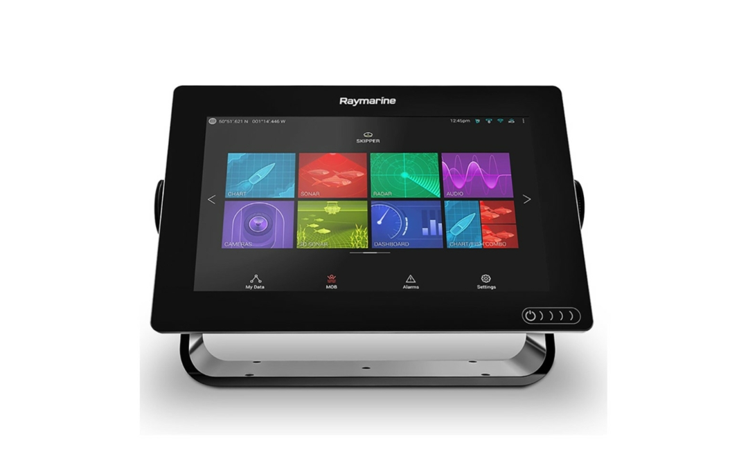
Many multifunction displays available at Tecomart can display both raster and vector charts, allowing you to switch between them as it suits your needs. This includes the Raymarine AXIOM 7 RV (E70365-00) with 7-inch super bright display for all weather conditions, Raymarine AXIOM 12 RV (E70369-00-NSD) with 12-inch display, and Raymarine AXIOM 16 Pro-RVX (E70373-00-NSD) with 16-inch display.
Tecomart has been a trusted navigation and radio communication equipment supplier since 1994, and we believe in furnishing our clientele with only the highest quality affordable marine communication and nautical safety solutions. Get in touch with us today or peruse our FAQs to find out more about how we can help you improve your marine navigation and communication.
by Barani Chettiar | Mar 30, 2022 | Uncategorized
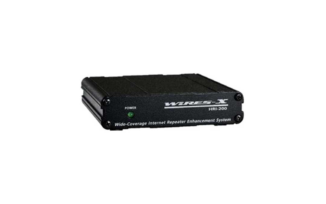
When disaster strikes and all other communication channels are unavailable or offline, ham radio (or amateur radio) is a reliable and self-sufficient method of keeping communication open in times of emergency. But that’s not all that draws enthusiasts to the hobby – after all staying connected is part of human nature, and ham radio provides us with a unique yet challenging way of connecting with other likeminded people around the world.
Even in the age of cellphones and instant digital messaging, ham radio has stood the test of time and continued to stay popular amongst enthusiasts. If you are interested in venturing into the world of amateur ham radio in India, here’s what you need to know:
(more…)
by Barani Chettiar | Mar 15, 2022 | Uncategorized
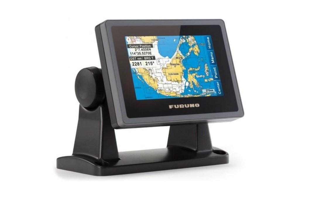
Just as the crew of any marine vessel needs to work together to help achieve their goal, the vessel itself relies on several interdependent systems to keep it going. Getting the most reliable marine navigation and radio equipment for your vessel is crucial to ensuring the security and safety of your ship, so that you and your crew can carry out your duties without worry. Fishing vessels also have to have echo sounding equipment to help them carry out their duties and bring home the best catch possible.
Tecomart has been a supplier of marine radio communication and navigation equipment since 1994. We stock a wide variety of navigation, communication, and fish finding equipment to serve you and your vessel’s specific needs. Browse selected products below, or get in touch for more information and quotes:
Read More


