
Navigational tools are the backbone of commercial fishing, playing a pivotal role in ensuring safety and efficiency at sea. Among these tools, navigational charts and maps stand out as indispensable assets for a successful fishing expedition. In this article, we delve into the importance of these tools, explore the types of navigational charts available, discuss how to read nautical maps effectively, highlight the role of technology in navigation, emphasize the benefits of local knowledge, and provide insights into planning routes for the best catches.
Importance of Navigational Tools
For commercial fishermen, navigational tools are not merely accessories; they are lifelines ensuring the safety of both crew and vessel. Accurate charts and maps are crucial for plotting courses, avoiding hazards, and determining the best fishing spots. In the unpredictable marine environment, where weather conditions can change rapidly, relying on navigational tools is essential for making informed decisions and ensuring a successful fishing venture.
Types of Navigational Charts
Navigational charts come in two primary forms: electronic charts and traditional paper charts. Electronic charts, powered by GPS technology, offer real-time data and ease of use. On the other hand, paper charts provide a tangible backup and are often favored by experienced fishermen who appreciate the tactile nature of traditional navigation. The choice between electronic and paper charts often depends on personal preference, with many opting for a combination of both for redundancy.
How to Read Nautical Maps
Understanding how to interpret nautical maps is a fundamental skill for any commercial fisherman. Nautical maps are rich with symbols, depths, and features that convey critical information about the underwater landscape. Fishermen must familiarize themselves with symbols representing buoys, navigational aids, and potential hazards. Additionally, understanding contour lines and depth markings is essential for identifying promising fishing grounds and avoiding dangerous areas.
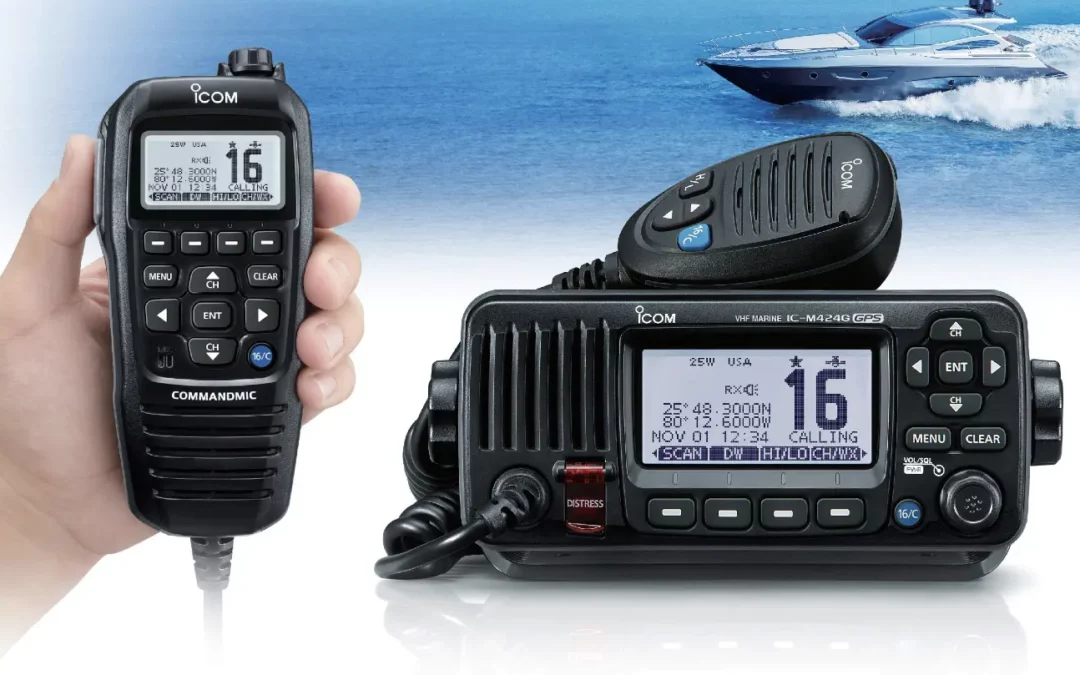
Using Technology in Navigation
In the modern era, technology has revolutionized navigation for commercial fishermen. Global Positioning System (GPS) devices, sonar systems, and fish finders provide invaluable assistance in locating fish and navigating complex waterways. GPS devices offer precise location information, while sonar and fish finders help identify underwater structures and fish schools. Integrating these technologies into navigation strategies significantly enhances the efficiency and success of commercial fishing operations.
Benefits of Local Knowledge
While advanced technology has its merits, the value of traditional, local knowledge should not be underestimated. Experienced fishermen often possess insights into the intricacies of specific fishing grounds, including seasonal fish movements, underwater topography, and local weather patterns. Collaborating with local fishermen and incorporating their knowledge into navigation plans can lead to more productive fishing trips and a deeper understanding of the marine environment.
Planning Routes for Best Catches
Strategic planning of fishing routes is a key element of commercial fishing success. Navigational charts and maps facilitate the identification of potential hotspots, taking into account factors such as water depth, temperature, and underwater structures. By analyzing this information, fishermen can optimize their routes to increase the likelihood of successful catches and minimize time spent in less productive areas.
Navigational Tools Crucial for Fishing Prosperity
In conclusion, navigational charts and maps are indispensable tools for commercial fishermen seeking success on the open waters. The importance of these tools for safety, efficiency, and strategic planning cannot be overstated. Whether utilizing electronic charts, traditional paper charts, or a combination of both, integrating technology with local knowledge ensures a comprehensive approach to navigation, leading to prosperous and fruitful commercial fishing endeavors.


0 Comments