Navigating the vast and often unpredictable expanse of the open seas requires mariners to rely on a standardised system of markers. The International Association of Marine Aids to Navigation and Lighthouse Authorities (IALA) Buoyage System is a crucial component of marine navigation, providing a uniform set of sea marks globally. To help you further understand its importance, we give you insight into its scope and the various types of marks you should note.
What Is the IALA Buoyage System?
The IALA Buoyage System is the backbone of international marine navigation, establishing a standardised set of sea marks to safely guide vessels through waterways. These uniform navigational aids also help protect the marine environment, preventing vessels from crossing vulnerable areas.
Adopted by most maritime nations, the system is divided into two regions: Region A and Region B. Region A encompasses Europe, Australia, New Zealand, and parts of Africa and Asia, while Region B covers North, Central, and South America, Japan, and the Philippines.
Differentiating Aids to Sea Navigation: Buoys and Beacons
Central to the IALA Buoyage System are aids to sea navigation and crucial markers that guide mariners through channels and indicate potential hazards. Two primary types of aids are buoys and beacons.
Buoys
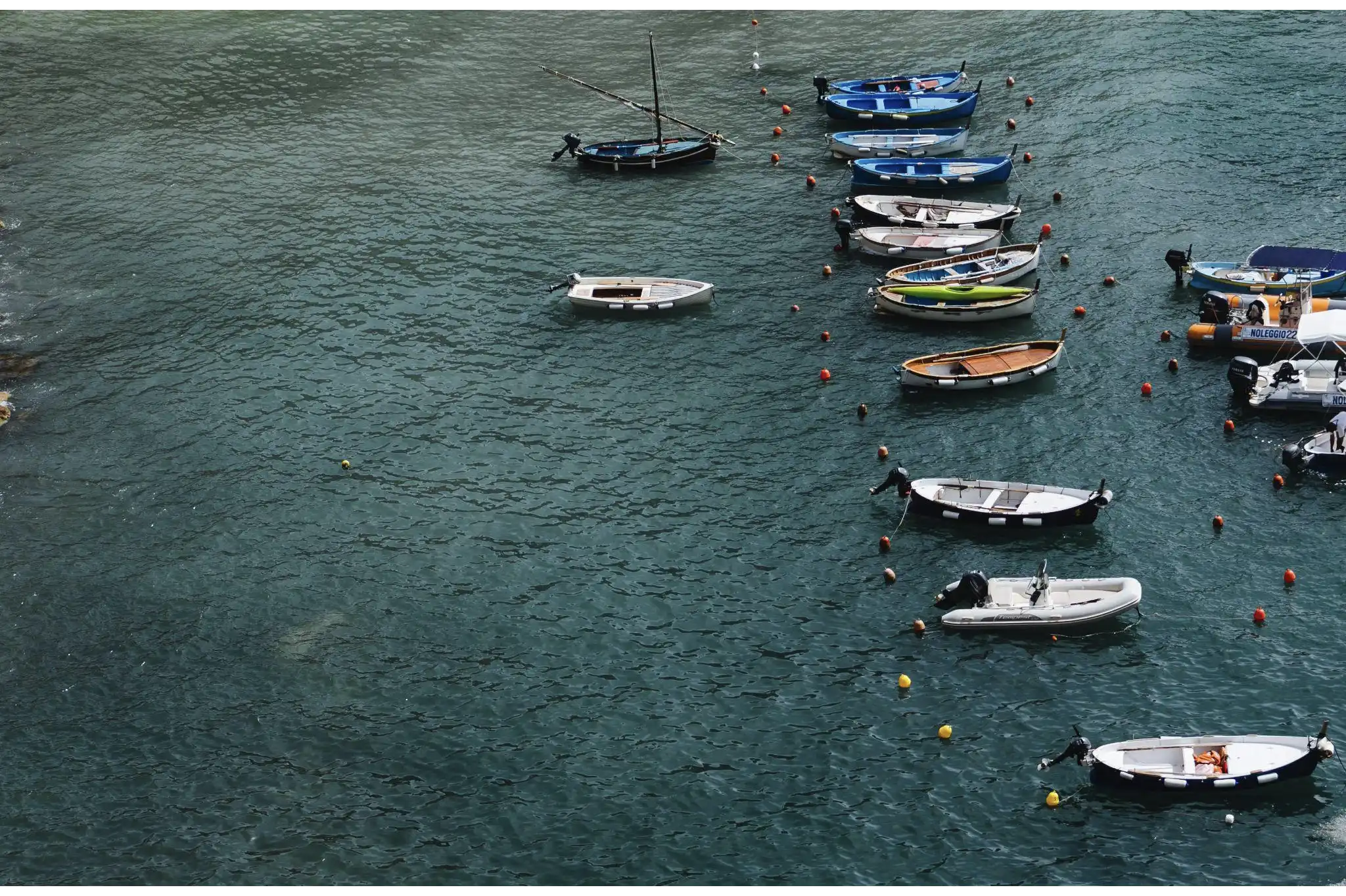
Buoys are floating markers which are anchored to the seabed. They have distinctive shapes and colours to indicate their purpose and how to navigate around them. Buoys are mobile and strategically positioned to mark channels and hazards and provide directional information.
Beacons
On the other hand, beacons are fixed structures mounted on solid ground and often onshore or atop structures like lighthouses. The majority of beacons have lateral or non-lateral aids attached to them. For example, light beacons are called “LIGHTS,” while those without lights are called “DAYBEACONS.”
Types of Marks in the IALA Buoyage System
As you navigate through the sea, here are the types of marks under the IALA Buoyage System:
Lateral Marks

These marks guide vessels on which side of the waterway to follow. Lateral marks can be port or starboard lateral marks, denoted by their colours. For example, in Region A, the colour of the port hand mark, which is found on the left, is red, while the starboard mark, found on the right, is green. For waters in Region B, the colours are reversed, with the port side mark on the left in green and the starboard mark on the right in green.
Cardinal Marks
Cardinal marks derive their name from the cardinal points of the compass: north, east, south, and west. They are crucial navigational aids that help mariners identify the deepest water in a specific area and indicate the safe side to navigate potential hazards. Moreover, they draw attention to notable features within a channel, such as bends, junctions, or the termination of a shoal.
Notably, Region A and Region B adhere to a consistent colour scheme for their cardinal marks, employing black and yellow markings and distinctive top marks.
Isolated Danger Marks
These signify a hazard to shipping, like a wreck or submerged rock. Isolated danger marks typically stand or are moored above the hazard. One of the distinct characteristics of this mark is its double sphere top mark, which needs to be visible during the day. Moreover, the isolated danger mark should be as large as possible, with spheres clearly separated.
Safe Marks
When encountering a safe water mark, this means that there is navigable water all around the mark, which includes the end of a channel or mid-channel. It is typically in red and white vertical stripes and has a single red sphere as a top mark.
Special Marks
Special marks are used to indicate areas where specific regulations apply, such as mooring areas, recreational zones, or underwater pipelines. These marks are yellow in colour with a single yellow “X” shape as the top mark.
Find High-Quality Marine Navigation Equipment at Tecomart
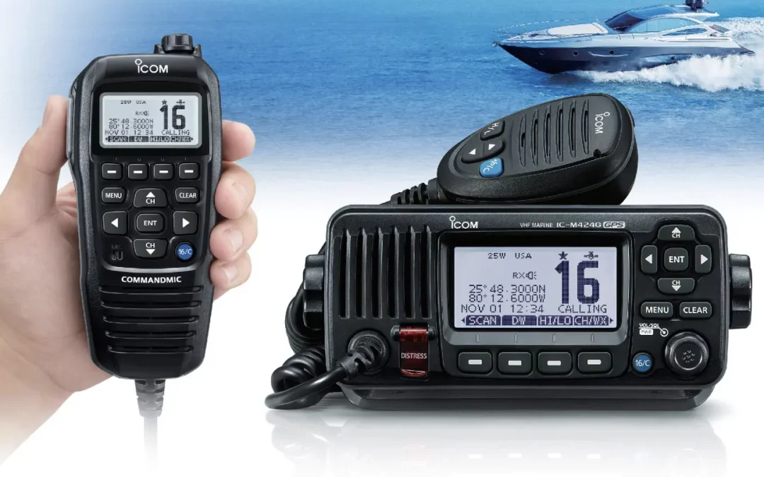
As you navigate vast waters across regions of the world guided by the IALA Buoyage System, having reliable marine navigation equipment on your vessel is also important. When seeking essential navigational devices for your voyage at sea, you should turn to a trusted supplier offering a diverse array of equipment from reputable manufacturers like Garmin, JRC, and Furuno. This is where Tecomart excels. Explore our extensive catalogue of marine navigation equipment, and choose from our selection of quality GPS chart plotters, marine video cameras, and marine radars for sale. At Tecomart, we prioritise high-quality marine navigation equipment to enhance your safety at sea.
If you want more marine navigation tips, you can check out our tips for taking over navigational watches and safe sailing at night.




0 Comments