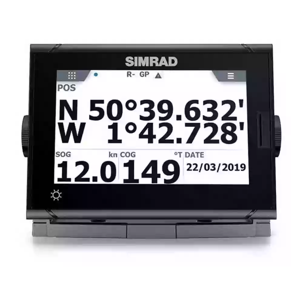
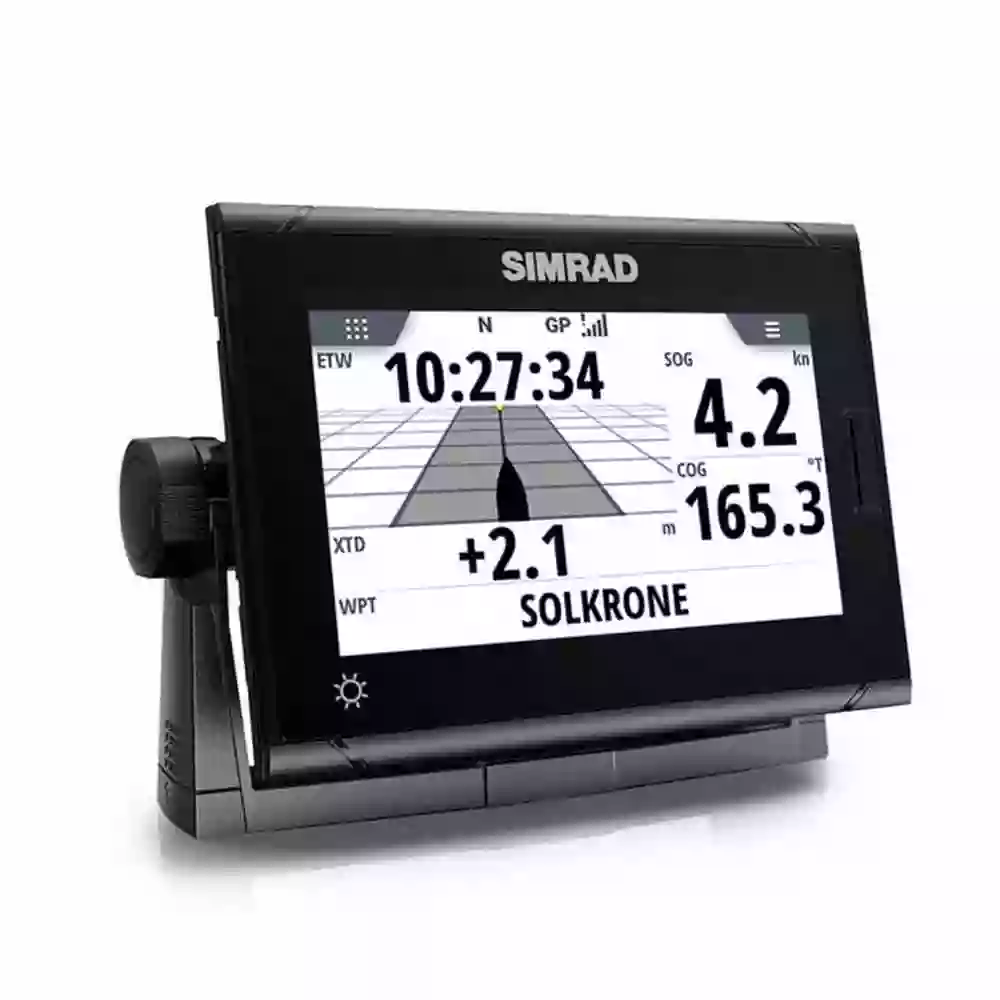
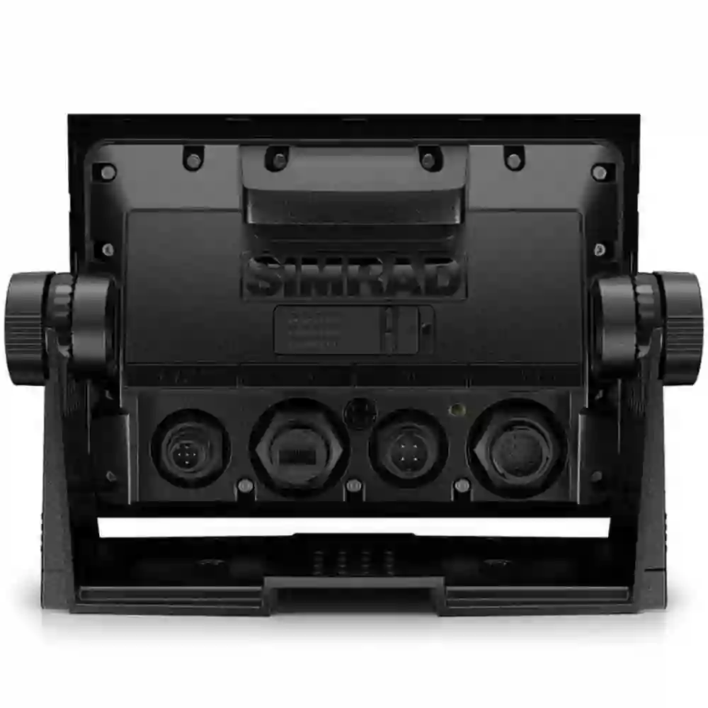
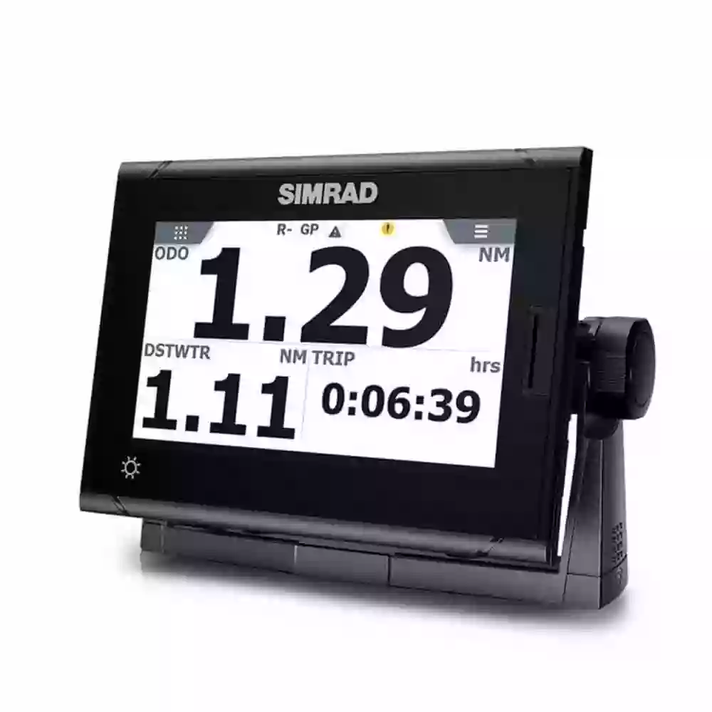
| Specifications |
|
|
|
| Display |
|
| Backlight Color |
White |
| Display Resolution |
800 x 480 |
| Screen Brightness |
1200 nits |
| Viewing Angles |
Left/right: 70°, top: 50°, bottom: 60° |
| Physical |
|
| Compass Safe |
50 cm (1.64 ft) |
| Dimensions W x H x D |
197 x 141 x 83 mm (7.7 x 5.6 x 3.3 in) display only exc bracket |
| Mounting Type |
Flush or bracket mount |
| Weight |
1.32 kg (2.91 lbs) display only |
| Electrical |
|
| Power Consumption max |
11.1 watts |
| Power Consumption typical |
9.5 watts |
| Recommended Fuse Rating |
3 Amp |
| Supply Voltage |
12/24 VDC (9.0 – 31.2 VDC min- max) |
| Environment |
|
| Humidity |
Meets IEC60945 |
| Operating Temperature Range |
– 15° to +55° C (5° to 131° F) |
| Shock Vibration |
Meets IEC60945 |
| Storage Temperature Range |
– 20° to +60° C (4° to 140° F) |
| Waterproof rating |
IPX2 (Display only. See sensor data for antenna) |
| Connectivity |
|
| N2K PG Ns |
59392 ISO acknowledgement, 59904 ISO request, 60928 Address claim, 126208 Group function, 126992 System time, 126993 Heartbeat, 126996 Product info, 126998 Configuration info, 127233 MOB notification, 127237 Heading / track control, 127245 Rudder, 127250 Vessel heading, 127251 Rate of turn, 127252 Heave, 127257 Attitude, 127258 Magnetic variation, 127488 Engine parameters (rapid update), 127489 Engine parametres (dynamic), 127493 Transmission parameters (dynamic), 127503 AC Input status, 127504 AC output status, 127505 Fluid level, 127506 DC detailed status, 127507 Charger status, 127508 Battery status, 127509 Inverter status, 128259 Speed, water referenced, 128267 Water depth, 128275 Distance log, 129025 Position rapid update, 129026 COG SOG, rapid update, 129029 GNSS Position data, 129033 Time & date, 129038 AIS Class A position report, 129039 AIS Class B position report, 129040 AIS Class B extended position report, 129041 AIS aids to navigation, 129283 Cross track error, 129284 Navigation data, 129285 Navigation – route WP information, 129539 GNSS DOP’s, 129540 AIS Class B Extended Position Report, 129545 GNSS RAIM output, 129549 DGNSS corrections, 129551 GNSS differential correction receiver signal, 129793 AIS UTC & date report, 129794 AIS ATON’s, 129798 AIS SAR aircraft position report, 129801 Cross track error, 129802 AIS safety related broadcast message, 129809 AIS Class B “CS” static data report part A, 129810 AIS Class B “CS” static data report part B, 130067 Route & WP service – route WP name & position, 130074 Route & WP service – WP list – WP name & position, 130306 Wind data, 130310 Environmental parameters, 130311 Environmental parameters, 130312 Temperature, 130313 Humidity, 130314 Actual pressure, 130316 Temperature, extended range, 130576 Small craft status, 130577 Direction data, 130578 Vessel speed components. NOTE: Relevant sensor must be connected. |
| NMEA 0183 Sentences supported |
Transmit: DBT, DPT, GGA, GLC, GLL, GSA, GSV, HDG, MTW, MWD, MWV, RMB, RMC, ROT, RPM, RSA, THS, TRD, VLW, VHW, VTG, XDR, XTE, ZDA with relevant sensors connected. Receive: AAM, ABP, ACK, ACN, BOD, BWC, BWR, DBT, DPT, DSC, DSE, DTM, GGA, GLL, GNS, GSA, GSV, HBT, HDG, HDM, HDT, MOB, MTW, MWD, MWV, RMC, ROT, RPM, RSA, RTE, THS, TRD, VBW, VDM, VDO, VLW, VHW, VTG, WPL, XDR, ZDA. |
| NMEA 2000 Connectivity |
1 x Micro-C, 1 LEN |
| GPS |
|
| GPS Receiver Channels |
2 x 270 |
| Position Accuracy |
< 4 metres (with no SBAS) |
| Time to First Fix |
< 60 s typical |
| Update rate |
1 Hz standard 20 Hz optional |
| HeadingSensors |
|
| Heading Sensor Accuracy |
<0.5 RMS |
| Heading Sensor Data Available |
Heading, Rate of Turn, Heave, Attitude |
| Heading Sensor Data Protocol |
NMEA 0183, NMEA 2000 |
| Sensor Type |
GPS Compass |
| Other |
|
| Interface |
NMEA 2000, NMEA 0183, Lightweight Ethernet (LWE) |
| Languages |
English |

