Samyung N500R GPS Navigator
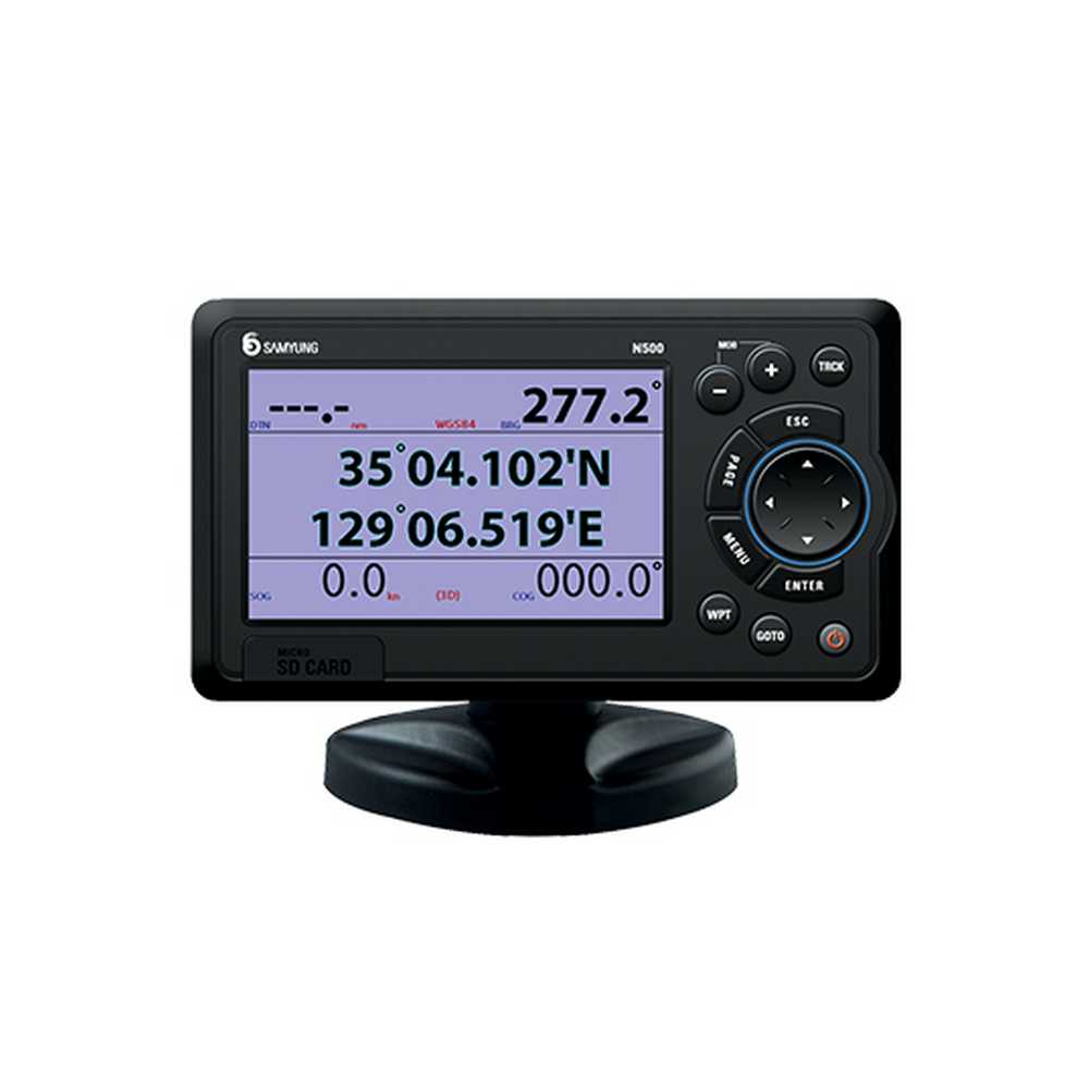
Samyung N500R – the ship’s navigational GPS receiver, combined with the chartplotter. The chart plotter can be connected to external devices, NMEA0183 interface and display information. Samyung N500R – small and light, equipped with a 5-inch TFT color display, supports NAVIONICS Micro SD Card format mapping.
Samyung N500R has the function of storing the coordinates of a location when a person falling overboard. On the screen of the receiver can change the brightness, the background, and select Night mode. The maps Samyung N500R shows all data relating to navigation, such as buoys, lights, cables, depth echo sounding, marina, etc.
Specifications:
- Display 5 ‘TFT Color, 800×480 pixels
- Power supply 10-34 VDC
- Operating temperature: -10 to +50 C
- Mapping Media Micro CD Card
- Types of cards: NAVIONICS / C-MAP max
- The protocol – NMEA 0183
- Waypoints: 10,000 up to 8 characters in the title
- Size: 190 mm (W) x 140 mm (H) x 100 mm (D)

