General |
|
| DIMENSION | 4.0″ x 6.5″ x 3.1″ (10.2 x 16.5 x 0.4 cm) |
| DISPLAY SIZE | 2.1″ x 3.7″; 4.3″ diagonal (5.4 x 9.5 cm; 10.5 cm diagonal) |
| DISPLAY RESOLUTION | 480 x 272 pixels |
| DISPLAY TYPE | WQVGA display |
| WEIGHT | 1.6 lbs (0.7 kg) |
| WATERPROOF | IPX7 |
| MOUNTING OPTIONS | Bail or flush |
Maps & Memory |
|
| NAVIGATIONIGATION ACCEPTS DATA CARDS | 1 microSD™ card; 32 GB maximum card size |
| WAYPOINTS | 5,000 |
| NAVIGATION ROUTES | 100 |
Sensors |
|
| BUILT-IN RECEIVER HZ | 5 Hz |
| NMEA 0183 COMPATIBLE | Yes |
Chartplotter Features |
|
| AIS | Yes |
| DSC | Yes |
Connections |
|
| CONNECTIONS NMEA0183 INPUT PORTS | 1 |
| VIDEO INPUT PORTS | None |
| VIDEO OUTPUT PORTS | None |
| CONNECTIONS GARMIN MARINE NETWORK PORTS | None |
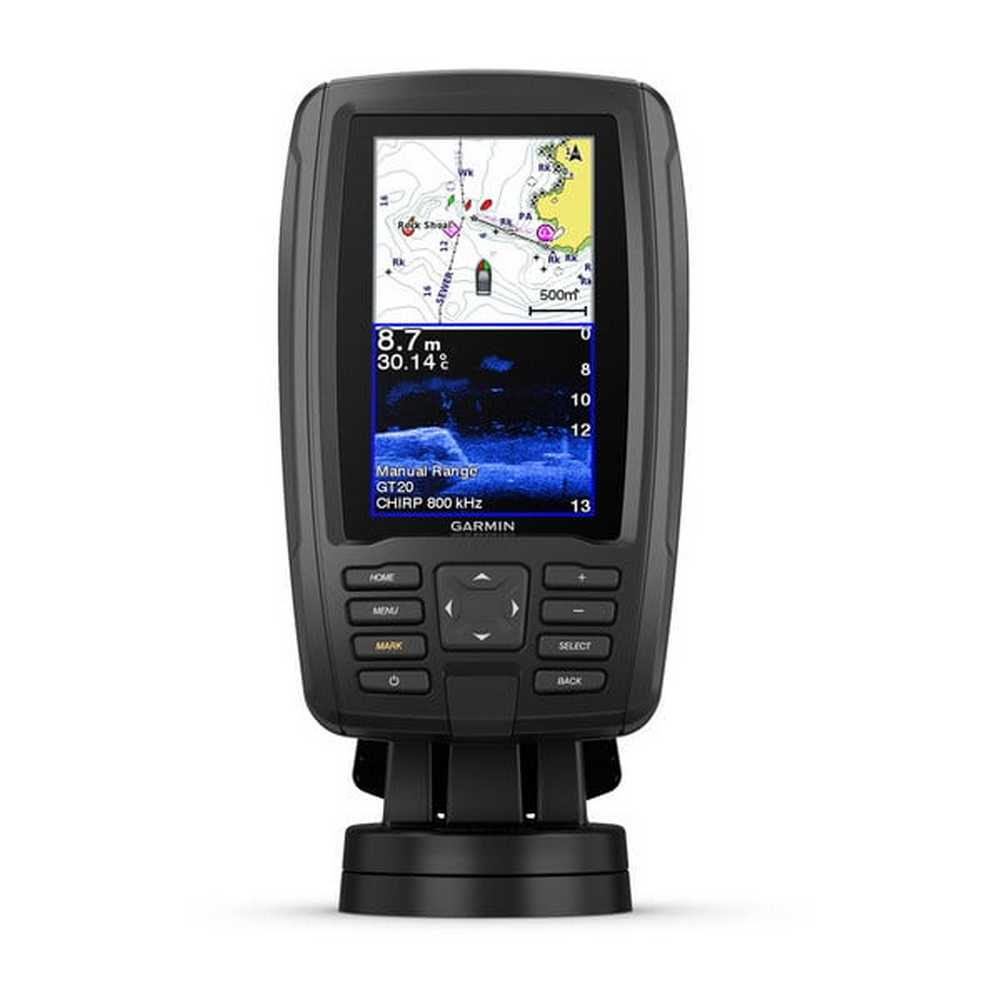
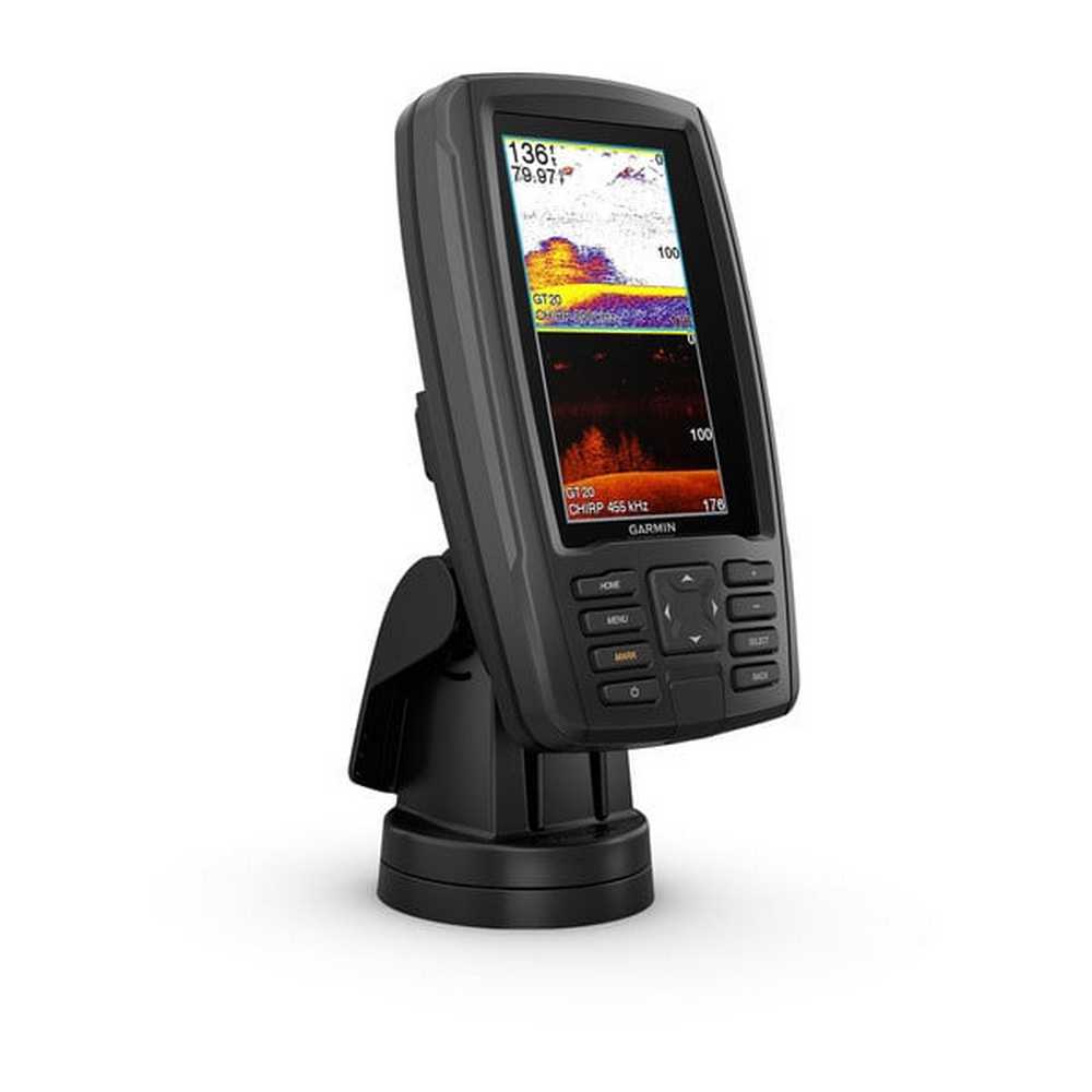
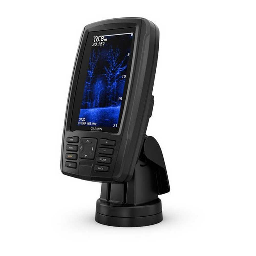
ECHOMAP Plus 45cv Chartplotter / Fish Finder
Request a quote for latest pricing
ECHOMAP Plus 45cv Chartplotter / Fish Finder
- Bright, sunlight-readable 4.3” combo
- Built-in support for Garmin CHIRP traditional sonar plus CHIRP ClearVü™ scanning sonar (transducer not included)
- Preloaded BlueChart® g2 charts for the U.K., Ireland and Northwest mainland Europe coast
- Built-in Garmin Quickdraw™ Contours mapping software instantly creates personalized fishing maps on-screen with 1’ contours as you fish
- Share waypoints and routes with other ECHOMAP™ or STRIKER™ units

